|
|
|
|
|
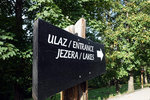
After 15 minutes walk through the Mukinje village, we arrived at the Park near entrance ST 2
|
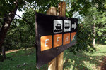
| All the way there are signs that show the route you are taking, and we decided to take route C, but departing from ST2
|
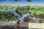
| Our route, which was similar to route C, departed from ST2. We took the bus to ST1, walked down to the lower lakes to P3, which we took a ferry to P2 and continued through the upper lakes until ST3, which a bus would take us back to ST2
|
| This diagram is borrowed from the official site, to better illustrate our route of the day. Route C is about 8km and would take 4-6 hours
|
|
|
|
|
|
|
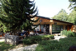
This is the restaurant at ST2. Also where we waited for the bus to take us to ST1
|
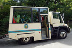
| This is one of the buses but sadly I think this is reserved for some other groups
|
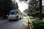
| So we waited again and finally got on to a larger 'train' (a very long eletric bus)
|
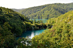
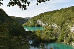
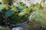
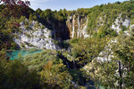
| We began the walk from ST1. Here you could see an excellent view of the lower lakes.
|
|
|
|
|
|
|
Lake Kozjak, followed by Lake Milanovac which is a bit lower
|
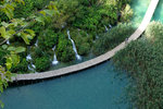
| Looking down you could see the footbridge that divides the lakes Kaluderovac and Novakovica Brod
|
| The signature view of Plitvice Lakes
|
| Near ST1 we could also see a distant yet spectacular view of the Great Fall and the end of Lake Novakovica Brod, where water will cascade vertically 25m into the large hollow called Sastavci, where the series of lakes ends. We have to go all the way down and across the footbridge to get there
|
|

